Custom designs and manufacture of uav platforms in Canada
|
At RC Manta our main focus is to offer affordable Aerial Photography and Video. We offer everything from low cost radio controlled helicopters to Large Drone Systems for Aerial Cinematography.
RC Manta is based out of Mississauga, Ontario, Canada. - Aerial photography for a Residential/Commercial property can start as low as $175 per property. - Aerial video can start as low as $199. - Depending on your requirements half day rates can be as low as $599 and full day rate as low as $1000. |
Ready to fly units are also available; prices vary depending on design requirements
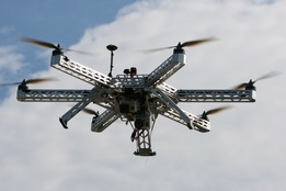
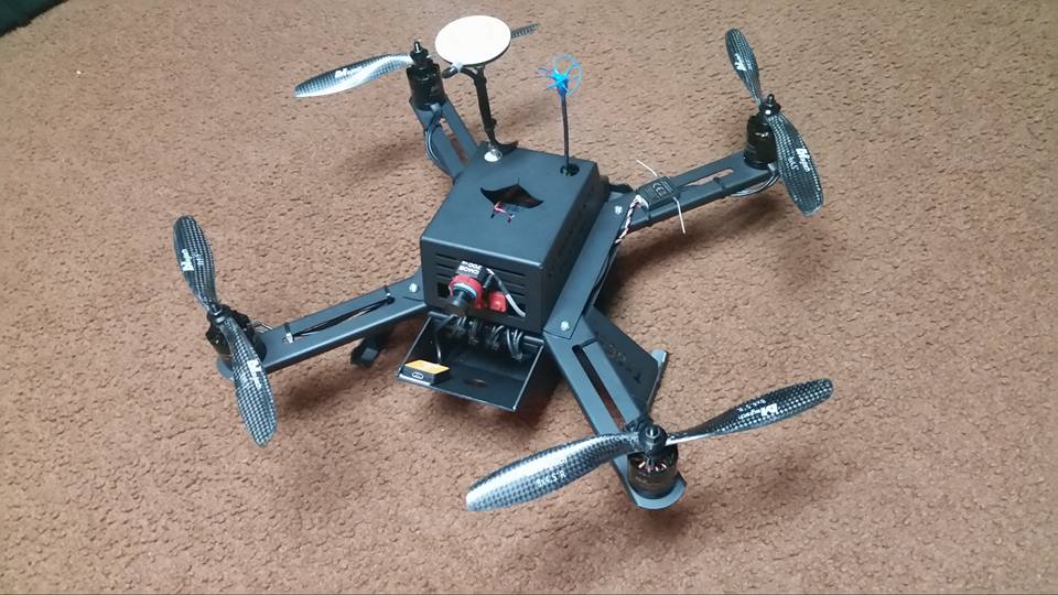
UNMANNED AERIAL VEHICLE
|
Disclaimer: (These are some of the Laws in Canada that we all need to follow )
- Ceiling height 90 Meters (max) - Fly within line of sight only - Cannot be flown over people or populated areas - Cannot be flown within a 9 km radius of airports - Must be flown with minimum of one pilot and one spotter at all times |
Definition of Unmanned Air Vehicle (UAV)
Section 101.01 of the Canadian Aviation Regulations (CARs) states, "Unmanned Air Vehicle" means a power driven aircraft, other than a model aircraft, that is operated without a flight crew member on board.
Unmanned air vehicles have been given many names, but are most commonly referred to as unmanned aerial vehicles (UAV), unmanned air vehicles, remotely operated aircraft or remotely piloted vehicles. Unmanned air vehicles may take the form of airships, aeroplanes or rotorcraft. Basically, they could be considered to be any unmanned aircraft that performs a useful mission and can be remotely controlled or has autonomous flight capability.
Unmanned air vehicles have been given many names, but are most commonly referred to as unmanned aerial vehicles (UAV), unmanned air vehicles, remotely operated aircraft or remotely piloted vehicles. Unmanned air vehicles may take the form of airships, aeroplanes or rotorcraft. Basically, they could be considered to be any unmanned aircraft that performs a useful mission and can be remotely controlled or has autonomous flight capability.
Uses For Unmanned Aerial Vehicles
Unmanned aerial vehicles operate in diverse environments, in high risk roles, including but not limited to: atmospheric research (including weather and atmospheric gas sampling), scientific research, oceanographic research, geophysical research, mineral exploration, imaging spectrometry, telecommunications relay platforms, police surveillance, border patrol and reconnaissance, survey and inspection of remote power lines and pipelines, traffic and accident surveillance, emergency and disaster monitoring, cartography and mapping, search and rescue, agricultural spraying, aerial photography, promotion and advertising, weather reconnaissance, flight research, and fire fighting monitoring and management.
Unmanned aerial vehicles can also be used for:
- Real Estate/Vacation Property
- Commercial surveys
- Arial Photography
- Golf Courses
- Agricultural
- Videography/Cinematography
- R&D Aerial Systems
Custom Design and Manufacture of UAV to suit application
Unmanned aerial vehicles can also be used for:
- Real Estate/Vacation Property
- Commercial surveys
- Arial Photography
- Golf Courses
- Agricultural
- Videography/Cinematography
- R&D Aerial Systems
Custom Design and Manufacture of UAV to suit application


